A New Flash Flood Prediction App Is Being Developed at TBU
7. November 2024The system for predicting the risk of flash floods is being developed by scientists from the Faculty of Applied Informatics (FAI) and the Faculty of Logistics and Crisis Management (FLCM) at Tomas Bata University in Zlín. It is an application called FLAPRIS, which will enable a significant refinement of the forecast. The scientists have also used artificial intelligence to design and program the system.
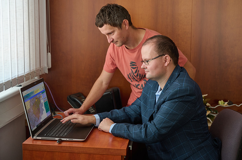
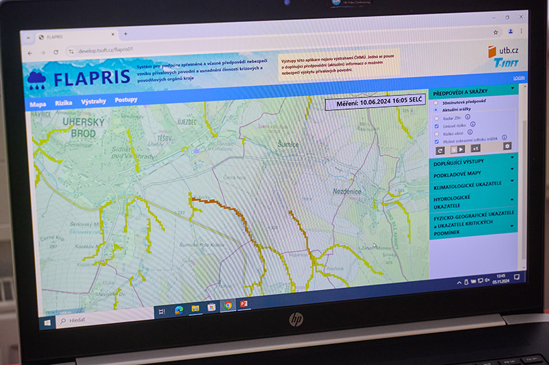
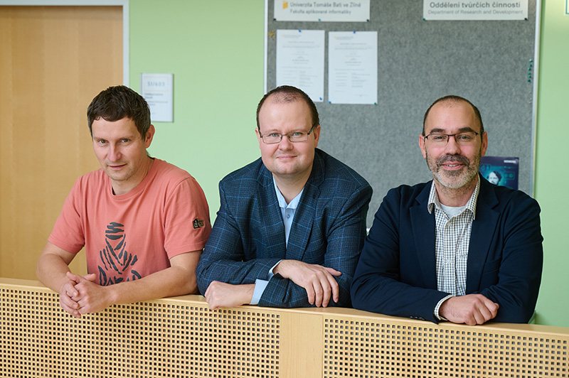
“The app will be able to refine the forecast, either in terms of the current situation or a forecast for 30 minutes ahead. The Czech Hydrometeorological Institute issues warnings for the territory of municipalities with extended competencies; the advantage of the application we are developing is the level of refinement for the municipal level,” says Dr. David Šaur, the project’s principal investigator from the Faculty of Applied Informatics.
“This method can give us a more accurate forecast, including an up-to-date estimate of the risk of flash flooding. The application takes into account the terrain at a given location, the slope, the type of soil and its saturation and ability to absorb water. It can calculate where and how much water will flow during flash floods,” adds Dr. Jakub Rak from the Faculty of Logistics and Crisis Management, who is also involved in the implementation of the project.

The application is already being used, for example, by the Zlín Regional Authority, which provides scientists with data from its weather radar. “It is important to say that the system is mainly focused on flash floods, i.e. when a large amount of precipitation falls in one moment on a small area and the underlying ground cannot cope, or drain it away fast enough. The water often flows downhill, taking mud with it. The application knows what type of soil there is, what the saturation level is and predicts what the risk is and what area is at risk,” explains Dr. Jakub Rak.
The researchers have now completed the software and are setting up and fine-tuning the radar. “We have dozens of flash floods in the region every year. We map what they look like and compare them back with the application’s predictions,” says Jakub Rak. The scientists also receive data from the fire brigade, which has intervened several times this summer, for example during flash floods in villages in the Zlín region. They need to collect a number of information about similar events to verify the reliability of the application in particular. “Then we will test the system. According to the first results, it looks like the reliability could be quite high,” says Dr. David Šaur.

The researchers received more than CZK 10,000,000 from the Ministry of the Interior of the Czech Republic to develop the application. After verifying its functionality, they plan to offer the system to the Czech Hydrometeorological Institute. It will also be used, for example, by the crisis teams of municipalities with extended competencies. The authors of the FLAPRIS application are already preparing the TORPIS tornado detection system and would also like to participate in the international HORIZON project, which will focus on landslide hazards.
